Nature - île photogénique, Océan - Profiter de l'Océan, Randonner -autour de l'île, Port-Coton, Belle île en mer, île de Bretagne, Bretagne sud, au large du Golfe du Morbihan
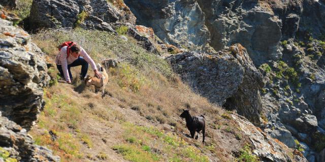
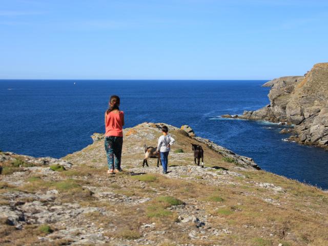
©Randonneurs à proximité des Aiguilles de Port Coton|©Emmanuel Berthier

Walking tour of the island

Belle-Ile-en-Mer, a land of hiking between sky and sea, popular with walkers.

Give yourself an enchanted interlude thanks to the 85 km of marked coastal path (and its 2500 m of difference in altitude) along the Atlantic coast, the famous GR® 340: the ocean as far as the eye can see, a wild nature, preserved species…The GR®340 Tour de Belle-île, elected GR® Favorite of the French 2022 is one of the best ways to discover the island and its treasures. Make an appointment with Nature and especially prepare your stay, a stay on the largest of the Breton islands is not improvised!

Friend’s advice: prepare your stay beforehand including your physical preparation, favor booking your stages of at least 2 nights in the same accommodation (minimum stays are often 2 nights) and close to shops or book your guide or confirm us your hiking stay!
Eco-tip: if you feel the need to use walking sticks, plan to wear tips so you don’t damage the trail.

We draw your attention to the fact that since June 20, 2022, thewalking sticks with tips are prohibited on the entire coastal trail, in Belle-île. The use of walking sticks without tips or with tips remains allowed.

These measures are taken due to the risk of erosion of the trail and degradation of vegetation induced by the use of walking sticks and in order to maintain the quality and sustainability of the trail!


The GR®340 Tour de Belle-île

"A concentrate of Brittany on 85 km!"

Walking: one of the best ways to discover the largest of the Breton islands!

The 85 km coastal trail (GR® 340) allows you to walk all around the island in five days and discover superb natural spaces.

From La Pointe des Poulains to the Needles of Port Coton, from the harbors of Sauzon or Le Palais, from the fine sandy beaches of Locmaria to Bangor and its typical landscapes of the wild coastline…

Walking the coastal path is much more than hiking: it is a rendezvous with a na raw and preserved.

This also means that you will need to take precautions to drink and feed and pick up any waste. The only water/sanitation and refueling points are in the 4 communes and there are no trash cans along the way. A dedicated bag to collect your personal waste is an essential and expected eco-gesture. This tour of Belle-île is prepared for an optimal success!

The Tour de l’île with

stages of 18 to 28 km per day

With a significant difference in altitude (2800 meters!), which is similar to medium mountain, the most experienced hikers will come to the end of the coastal trail in 4 days, we recommend it in 5 days.

Because there is so much to see on the GR®340! Remarkable fauna and flora, historical monuments and breathtaking natural sites, among the most beautiful in Southern Brittany.

Star trekking or backpacking? All our tips

A guide just for you?

Let yourself be surprised by the interior coast!

Day 1 - Le Palais > La Pointe des Poulains

17.5 km – about 5 1/2 hours – level: difficult

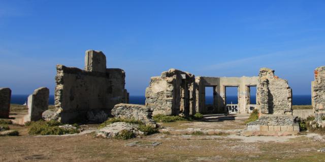
Although located on the interior coast – or “côte en dedans” – hereis one of the sportiest routes of the GR®340 Tour de Belle-île!” A hike that will delight history and old stone enthusiasts…An immersion in the military past of the island, with the remains of the Atlantic Wall at Taillefer, and as a highlight the arrival on the Pointe des Poulains and the fortin of Sarah Bernhardt...Magical!

The plus: when leaving early in the morning, take the opportunity to have lunch on the port of Sauzon, one of the most beautiful and picturesque small fishing ports in Southern Brittany!

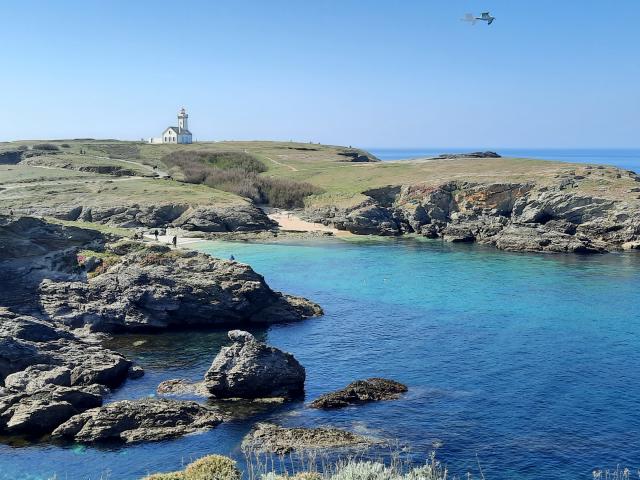
To see along the way: The Vauban Citadel, the pretty beaches of Castoul and Port Fouquet, the remnants of the Atlantic Wall at Taillefer, the small port of Sauzon and finally La Pointe des Poulains, one of the most beautiful natural sites on the island.

All practical information (starting point, elevation gain, points of interest along the way…) on the dedicated route sheet for the trail!

On the trail between Le Palais & La Pointe des Poulains
Heading west!

Day 2 - Les Poulains > Les Aiguilles de Port Coton

17.6 km – about 5h – level: medium

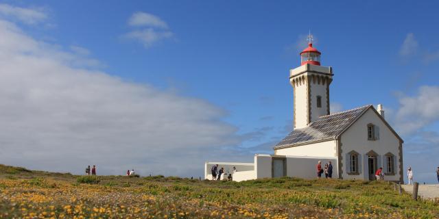
A second stage placed under the sign of Brittany in its wild state! High cliffs, heather moors and ocean as far as the eye can see. Surprising landscapes await you all along the route: the protected coves of Ster-Vraz and Ster-Ouen, the lunar atmosphere of the Apothicairerie site, the majestic rollers of Donnant beach…Once past Donnant, you will have a view of Le Grand Phare, and the arrival at the Aiguilles de Port Coton, immortalized by Claude Monet is thus very close!

If the route is relatively sporty at the beginning – between La Pointe des Poulains and the Apothicairerie – it is without major difficulties until the Aiguilles de Port Coton.

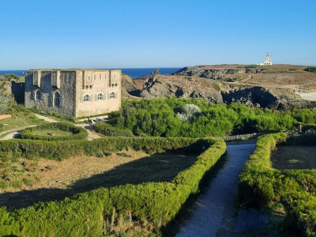
To see along the way: The Coastal House, the Sarah Bernhardt Fort, Koh-Kastell Reserve, the Donnant Beach, and The Great Lighthouse.

All practical information (starting point, elevation gain, points of interest along the way…) on the dedicated route sheet for the trail!

On the trail between La Pointe des Poulains & Les Aiguilles de Port Coton
From valleys to beaches with turquoise waters... Almost the Caribbean!

Day 3 - Port Coton > Herlin Beach

11.1 km – about 3h15 – level: medium

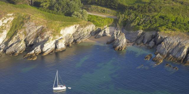
Starting from the famousPort Coton Needles, immortalized by painter Claude Monet, you continue your hike along the rugged coastline, on one of the most beautiful parts of the trail.

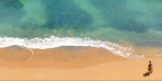
The elevation gain is significant but the scenery is breathtaking! The beaches with turquoise waters follow one another, giving this part of the island a little Caribbean side! We bet that the arrival on Herlin beach will remain one of your most beautiful memories of the GR®340 Tour de Belle-île! Count 12.8 km but with a significant difference in altitude (and the mandatory photo stops!), we recommend you to plan the whole day with “picnic” along the way!

To see along the way: the Talut semaphore, the Kérel beach, the d’Herlin and Baluden beaches, which are natural sites protected by the General Council of Morbihan.
All practical information (starting point, elevation gain, points of interest along the way…) on the dedicated itinerary sheet of the route!

On the trail between Les Aiguilles de Port Coton and Herlin beach
A course...at the Point!

Day 4 - Herlin Beach > Locmaria

12.2 km – about 4h – level: difficult

With this route, you start the last big stretch of the wild coast! Pointe Saint-Marc, Pointe de Pouldon, Pointe du Skeul….The overhangs on the sea follow one another and offer landscapes of a bewitching beauty!

It is thus one of the wildest parts of the coastal path, with there also important changes in level and a path sometimes on the side of cliff…Good walking shoes are particularly recommended for this route! The arrival on the beach of Port-Maria, in the heart of the village of Locmaria is a reward..It will be hard to resist the call of its calm and transparent waters!

To see along the way: La Pointe de Pouldon(natural site protected by the Conservatoire du Littoral), the Pointe du Skeul, the pretty beaches of Port Blanc and Port Maria.

All practical information (starting point, elevation gain, points of interest along the way…) on the dedicated route sheet for the trail!


On the trail between Le Palais & La Pointe des Poulains
Between countryside and ocean

Day 5 - Locmaria > Le Palais

15.4 km – about 4.5 hours – level: medium

Last day of hiking on the southern part of the interior coast!

You will appreciate the softness of the landscapes between countryside and ocean. Locmaria is the most rural commune of the island, with many farms and agricultural holdings. Atthe bend in the path, you will come across a field where sheep are quietly grazing…This part of the island is not stingy with beaches though! They follow one another, including the largest on the island: Les Grands Sables and its 2km of sand!

No particular difficulty on this hike which totals 17 km.

To see along the way: the beaches of Port Andro and Grands Sables, the Kerdonis lighthouse, the Gros Rocher, the Aiguade Vauban or Belle Fontaine.

All practical information (starting point, elevation gain, points of interest along the way…) on the dedicated itinerary sheet of the route!


On the trail between Le Palais & La Pointe des Poulains
Prepare your hike well

The difference in altitude is significant: 2,800 m on the entire route! This relief is therefore similar to medium mountain on some sections, especially on the eastern part of the island (interior coast). We advise you to be well equipped and physically prepared. Caution is therefore advised, especially with children.

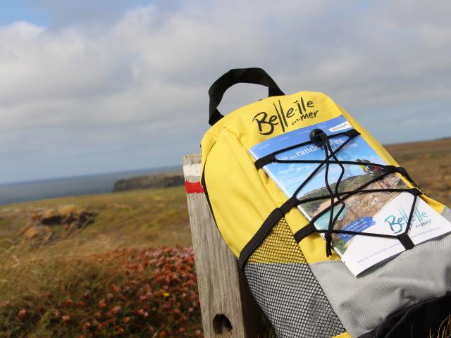
It is also possible – and especially more pleasant! – to reduce the number of stages by extending your stay to 5 or 6 days, for example. You can also find at the Tourist Office the Hiking Guide! The Tour de Belle-île by the GR 340 and 17 looped routes to also discover the many villages the island has (5€ – on sale at the Tourist Office or online).

Everything to prepare

your hiking trip

Label Étape Rando

accommodations dedicated to your comfort

Stopover cottages, hotels, campsites or youth hostels, discover the “Étape Rando Bretagne” establishments in Belle-île! Located less than 2 km from the coastal path, you will find all the facilities for 1 night or more…

On the paths of the island

Discovering its treasures...

Belle-Île is a land rich in historical heritage and where many local skills flourish! Also, all along the route, you will be able to enhance your hike with cultural visits. You can also take advantage of the opportunity to meet local producers, craftsmen and artists or to visit surprising gardens in the presence of the owners.

Close